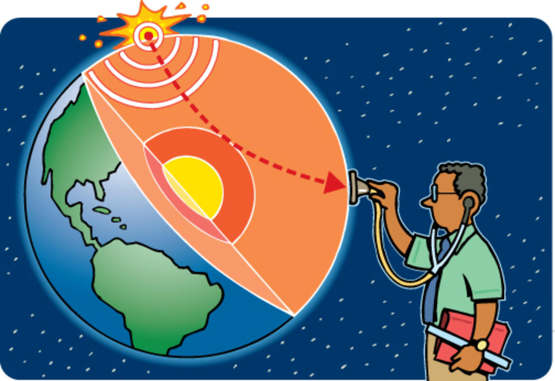
Waves to images Jeroen Tromp is creating a map of the Earth’s interior, which is composed of layers of iron and nickel, flowing liquids, and tectonic plates that combined are nearly 4,000 miles thick. Scientists study the Earth’s interior by measuring ground motions on the planet’s surface, explains Tromp, a professor of geology and applied and computational mathematics.
Images of the Earth’s layers are created using a technique called seismic tomography. Different types of seismic waves pass through the Earth, traveling at different speeds and resulting in different wave patterns. These seismic waves are generated by earthquakes or induced with explosives, and are measured with seismometers, stethoscope-like devices that are placed on the Earth in different locations. Using this data, the structure of the planet’s interior is inferred in the same way that X-rays, passing through the body in different patterns, create a map of its interior.
Super boost In the last 10 years, the methods used to create these 3-D maps of the Earth have become more sophisticated, incorporating fine-tuned data and more precise numerical models. Tromp, a key developer of the new methods, received a grant this year from the U.S. Department of Energy (DOE) that provides access to supercomputers that run his complicated models and simulations. The DOE project makes data freely available to scientists and the public. “This is an amazing resource for our lab. It changes everything,” says Tromp.
Deep Earth exploration Tromp recently completed a detailed map of Europe, which confirmed that the African tectonic plate is submerging underneath the European plate. For his map of the Earth’s entire interior, he is compiling data from 250 earthquakes that occurred in the last 20 years. These maps are used to identify oil and gas reservoirs prior to drilling and to simulate ground motions during earthquakes. Such simulations help civil engineers design and situate buildings to better withstand earthquakes. But for Tromp, it’s all about his curiosity about how the Earth works: “It’s just as exciting as questions about the cosmos and planetary systems. I continue to be fascinated and astonished by the activities that happen in the Earth’s deep interior.”


0 Responses