On the right track
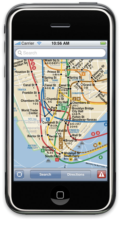
What started as a Princeton computer-science project has become one of the top 10 navigation applications for Apple’s iPhone. Last spring, Adam Ernst ’10, Dzhelil Rufat ’08, Mark Limperis ’10, and Paul Cavallaro ’10 created iTrans, an iPhone program designed to help New York City subway users find the fastest route between two locations. Ernst and Rufat refined and expanded the application last summer, adding maps for Chicago, Los Angeles, and Washington, D.C. They began selling iTrans on the iPhone App Store in July.
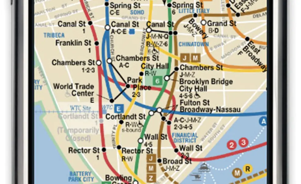
WHAT DOES iTRANS DO? Like other transit guides, iTrans provides high-resolution subway maps. But iTrans also gives users optimal routes from point A to point B — and it works underground.
HOW DOES IT WORK UNDERGROUND? A sophisticated algorithm analyzes schedules and finds the best path, using the limited computing power of a handheld device, so users do not need to be online.
ANY EXTRAS? With access to GPS, the program can provide walking directions to the nearest subway stop. Online users also can check the latest travel advisories.
WHO IS USING iTRANS? New York is the application’s prime market, with more than 25,000 users. In less than nine months, Ernst said, iTrans revenues have reached “the low six figures.”
WHAT’S NEXT?


No responses yet